ICT Solution & Digital | Software Development Services  Company

Hydrographic Survey

hydro

Hydrographic Survey

Hydrographic survey is a basic requirement with regards to maritime navigation. Moreover, it has become an essential element of offshore activities like drilling/ marine exploration and marine construction works. Hydrographic survey is also used to locate seabed characteristics, terrain and even to locate sunken objects. Over a period of time, this facility has become a permanent feature of port authorities.
ICT Solution & Digital | Software Development Services  Company
SI global maintains the basic hydrographic survey capability to serve needs of port authorities. In that we can assist in data collection, data analysis and subsequent preparation of reports required for evaluation/ decision making.

Imperdiet Massaee :

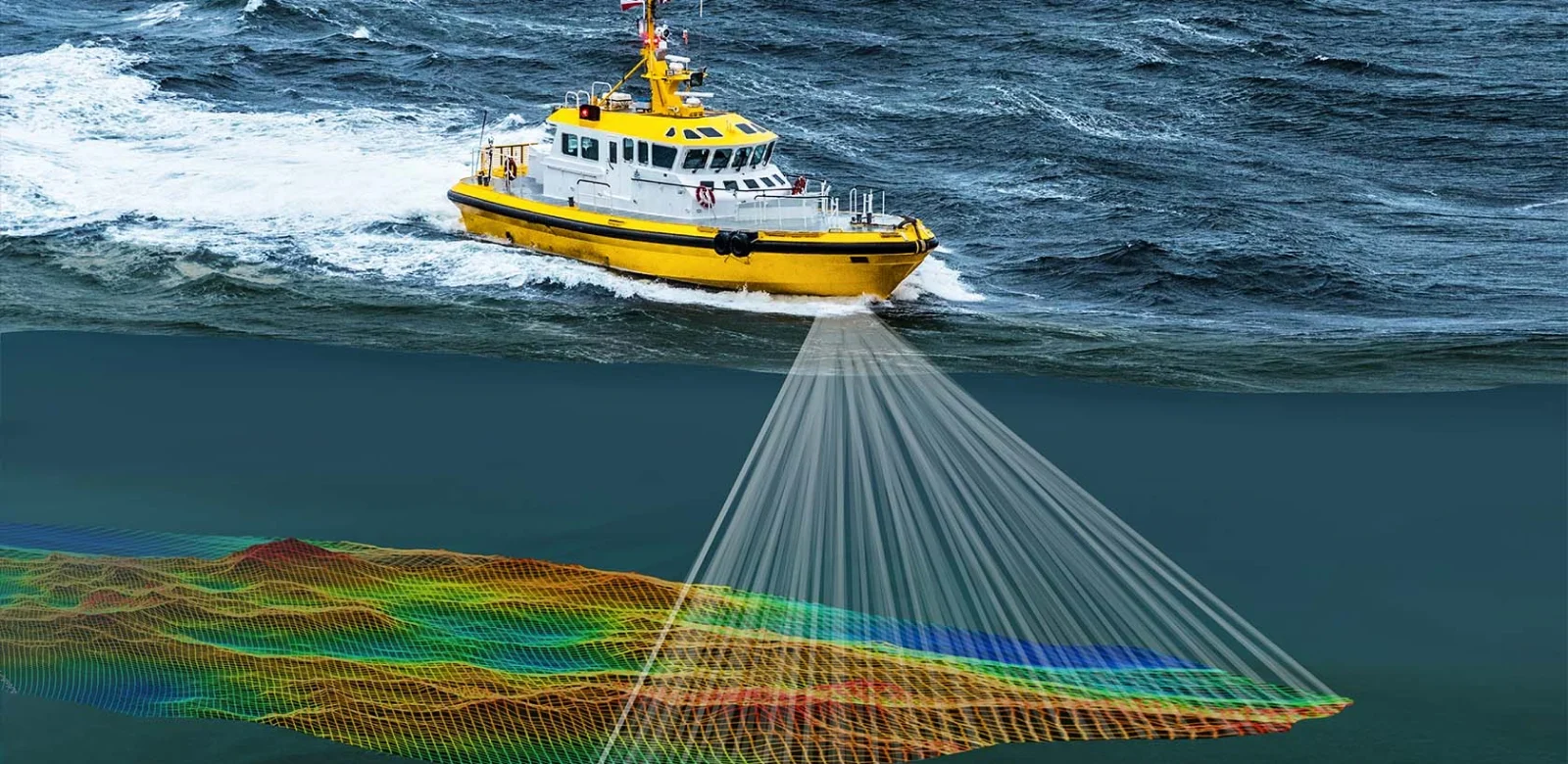
Hydrographic surveys are comprehensive assessments of underwater terrain, crucial for safe navigation, coastal management, and scientific research. Utilizing advanced technologies such as multibeam sonar and LiDAR, these surveys map the seabed, identify hazards, and chart water depths. Collected data undergoes meticulous analysis to create detailed maps and charts, aiding mariners, engineers, and researchers. These surveys play a pivotal role in maritime safety, coastal development, environmental protection, and marine resource management, ensuring the sustainability and efficiency of marine activities worldwide.
Hydrographic survey involves the mapping and charting of bodies of water, including oceans, seas, rivers, and lakes, to produce accurate and up-to-date navigational charts and maps.
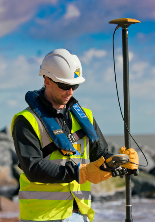
Hydrographic surveyors collect and analyze data using specialized equipment such as sonar, GPS, and LiDAR to measure water depth, identify underwater features, and assess seabed conditions, supporting safe and efficient navigation for maritime activities.