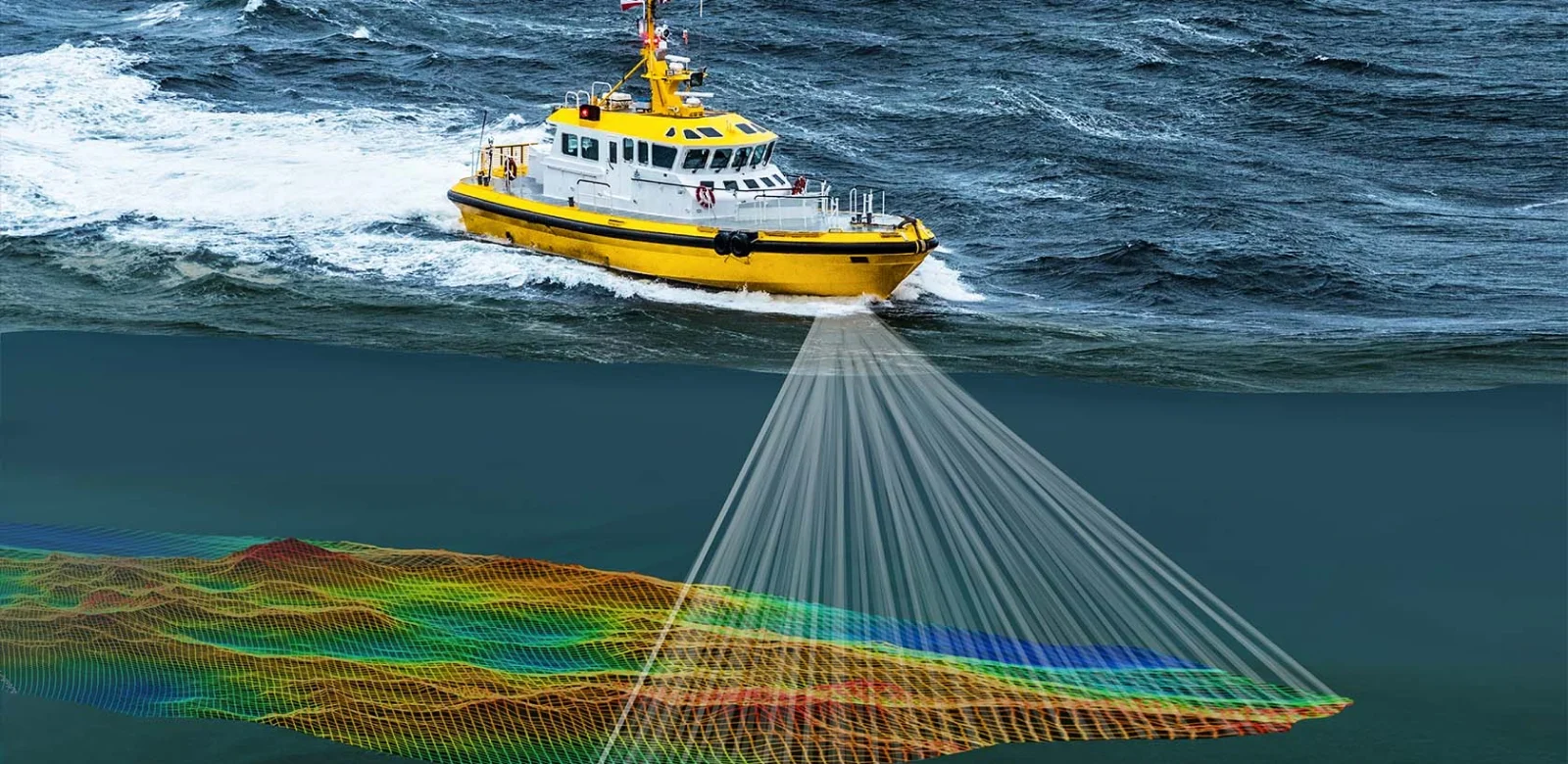
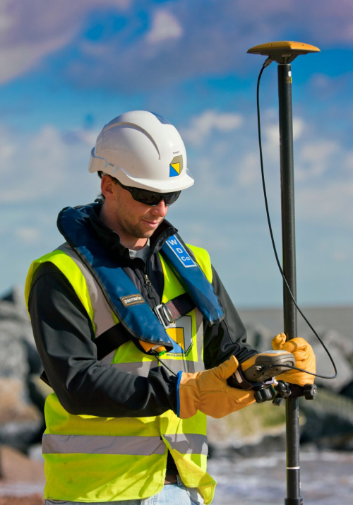
Hydrographic surveys are comprehensive assessments of underwater terrain, crucial for safe navigation, coastal management, and scientific research. Utilizing advanced technologies such as multibeam sonar and LiDAR, these surveys map the seabed, identify hazards, and chart water depths. Collected data undergoes meticulous analysis to create detailed maps and charts, aiding mariners, engineers, and researchers. These surveys play a pivotal role in maritime safety, coastal development, environmental protection, and marine resource management, ensuring the sustainability and efficiency of marine activities worldwide.


